Loxahatchee River Estuary
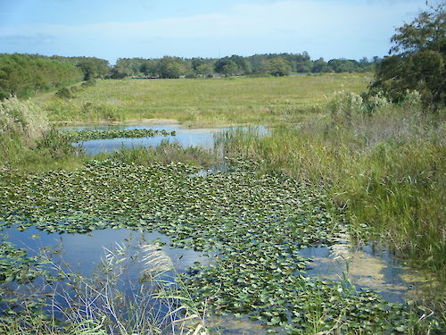
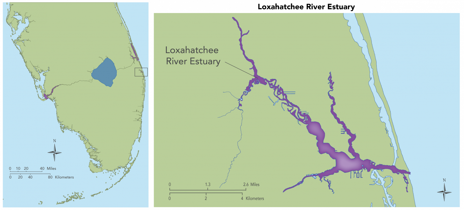
The Loxahatchee River Estuary is located south of the St. Lucie Estuary in Palm Beach County, Florida, and intersects with the southern end of the Indian River Lagoon at the Jupiter Inlet. Historically, the Loxahatchee River and its watershed included 565 km2 of inland sloughs and wetlands, with pine flatwoods, cypress sloughs, hardwood swamps, marshes, and wet prairies. In the past, rainwater would flow from land into the Loxahatchee Estuary, but today most of the original watershed drains to the Atlantic Ocean through Jupiter Inlet. Development, urban and agricultural land use, and changes to hydrology affect the distribution of important habitats like seagrass and oysters. Over time the river has become more estuarine due to a lack of sufficient freshwater inflows, and a shift in riverine floodplain vegetation has occured upstream with the intrusion of salt water. (Photo of Loxahatchee River Estuary by Jennifer Strickland used with permission)
Return to Northern Estuaries Info
Return to Regions Main Page
