Naval Air Station Banana River Off-Base Disposal Area

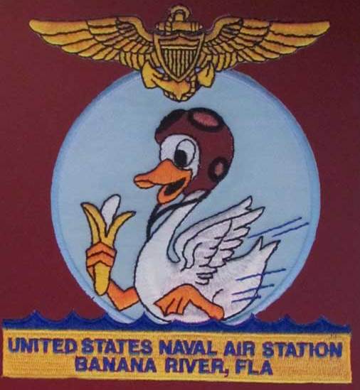
In the 1940s, the Navy utilized land south of the base known as the Naval Air Station Banana River Off-Base Disposal Area Formerly Used Defense Site.  It is approximately 50 miles southeast of Orlando in Brevard County, south of Patrick Air Force Base and north of the City of Satellite Beach.  For more information, please see Site Summary fact sheet.

RECOGNIZE - The object you found could be dangerous.
RETREAT - Leave the area without touching or moving the object.
REPORT - Call 911 immediately.

Project Documents

MAPS

Naval Air Station Banana River Off-Base Disposal Area Map
Historical Aerial Photographs - 1943-1951

CORRESPONDENCE

Fieldwork Start-up Notice Postcard - February 2023
Community Meeting Postcard - February 16 2023
Community Meeting Postcard - November 9 2022
Project Update Postcard - July 2022
Project Update - May 11 2021
Remedial Investigation/Feasibility Study Award Notification Letter and Right-of-Entry Request - May 7 2021
Project Update Postcard - March 2021
Project Update Postcard - January 2021
Project Update Postcard - October 2020
Project Update Postcard - July 2020
Project Approval and Remedial Investigation/Feasibility Study Letter - July 31 2020
Preliminary Assessment Letter - May 4 2020
Project Update Postcard - March 2020
Project Update Postcard - January 2020

FACT SHEETS

Remedial Investigation/Feasibility Study Process Fact Sheet - October 2022
Site Summary Fact Sheet - November 2022
Remedial Investigation/Feasibility Study Fact Sheet - November 2022
Questions and Answers - October 2022
Right-of-Entry Questions and Answers - October 2022
Virtual Meeting Handouts - August 12 2020
More Questions and Answers - revised - August 2020
Preliminary Assessment Questions and Answers - April 2020

REPORTS

UFP-Quality Assurance Project Plan - GPR - Excerpts - December 2022
Inventory Project Report - July 25 2020
Preliminary Assessment - April 2020
Findings and Determination of Eligibility - August 2019
Findings and Determination of Eligibility Reference Documents
Inventory Project Report - 1991

PRESENTATIONS

Remedial Investigation/Feasibility Study Community Meeting Presentation - February 16 2023
Historic Maps - Community Meeting - February 16 2023
Site Layout Map - February 16 2023
Site Vicinity Map - February 16 2023
What-We-Need-From-You Slide - February 16 2023
Investigation Fieldwork Poster - February 16 2023
Virtual Meeting Video - November 5 2021
Virtual Meeting Presentation Slides - November 5 2021
Virtual Meeting Handouts - November 5 2021
Virtual Meeting Video - August 12 2020
Project Approval and Remedial Investigation/Feasibility Study Slides - August 12 2020
Public Availability Presentation - October 24 2019

COMMUNITY RELATIONS PLAN

Community Relations Plan - September 2021

Status Update

The U.S. Army Corps of Engineers (USACE) has initiated the Remedial Investigation fieldwork.  The first phase, Ground Penetrating Radar, will last several weeks.  USACE must complete regulatory review of the full Work Plan and evaluate the Ground Penetrating Radar data prior to initiating the second phase.  If you have questions or concerns, please email FUDS.Florida@usace.army.mil or call 800.710.5184.

Contact Information

Toll-Free 1-800-710-5184
FUDS.FLORIDA@usace.army.mil