Biscayne Bay
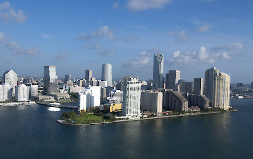
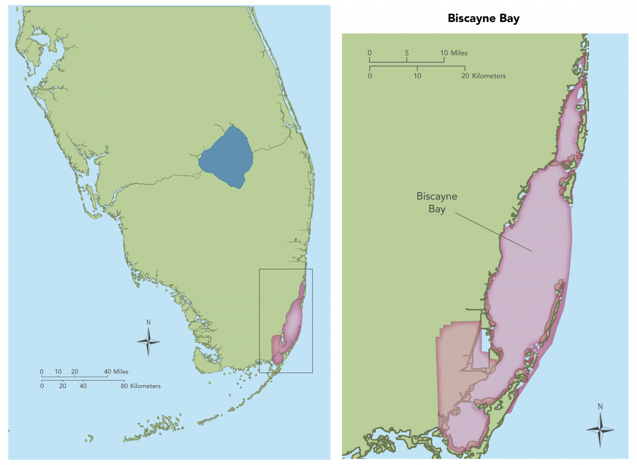
Biscayne Bay is a coastal lagoon with its southern and northern regions isolated from the open Atlantic waters by a series of barrier islands. Circulation within the bay is mainly wind-driven and relatively uninhibited by topographic features except for two banks in the southern part of the bay. Vast seagrass meadows are found in Biscayne Bay, and they support a wide variety of fish and wildlife resources including commercially important spiny lobsters, stone crabs, and juvenile pink shrimp. They also provide important habitat for recreationally important finfish species like spotted seatrout, gray snapper, and common snook. Changes have occured over the last century that can be characterized as major disruptions in the volume, timing, and distribution of freshwater flow to the ecosystem. In Biscayne Bay, the result has been reduced spatial extent of coastal graminoid marshes and mesohaline conditions along the western shore, which has decreased the diversity and abundance of native flora and fauna. (Photo of Miami shoreline by SFWMD used with permission)
Return to Southern Coastal System Info
Return to Regions Main Page
