May 2025
FACT SHEET
Flagler County, FL Coastal Storm Risk Management Project
Construction (C)
Congressional District: 6
1. DESCRIPTION
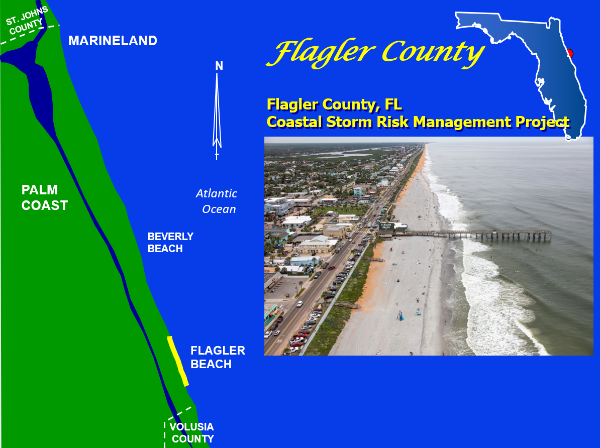
Flagler County is located along the northeast coast of Florida midway between the Florida/Georgia state line and Cape Canaveral. The county is bounded to the north by St. Johns County and to the south by Volusia County.
The authorized plan is the National Economic Development (NED) plan, consisting of a 10-foot dune and beach profile extension (beach nourishment) along 2.6 miles of shoreline in central Flagler Beach. The project reduces future risk of storm related damages to residential homes, businesses and critical public facilities in addition to state road A1A which is the area’s main hurricane evacuation route and a designated historic byway.
There nourishment interval is approximately every 11 years, equaling 4 renourishment events over the 50-year period of federal participation.
2. FUNDING
| Estimated Total Cost |
$98,800,000 |
| Estimated Federal Cost |
$52,000,000 |
a. Regular Civil Works Funds:
| Allocation for FY25 |
$0 |
| President's Budget FY26 |
TBD |
b. P.L. 115-123: Bi-Partisan Budget Act of 2018, Supplemental:
| Current Working Estimate |
$33,600,000 |
| Allocation thru FY24 |
$1,668,000 |
| Allocation for FY25 |
$0 |
3. SPONSOR
Flagler County Board of County Commissioners
1769 E. Moody Blvd. Suite 309
Bunnell, FL 32110
4. STATUS
Initial construction of the project was successfully completed in November 2024. The contractor is currently restoring staging area vegetation, fencing, etc. with all remaining punch list items scheduled for completion 30 Apr 25. Post construction environmental monitoring and reporting continues as required.
