St. Lucie Estuary and Southern Indian River Lagoon
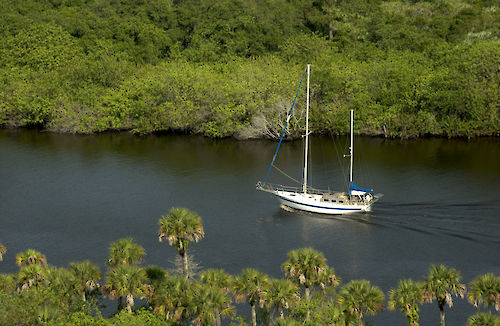
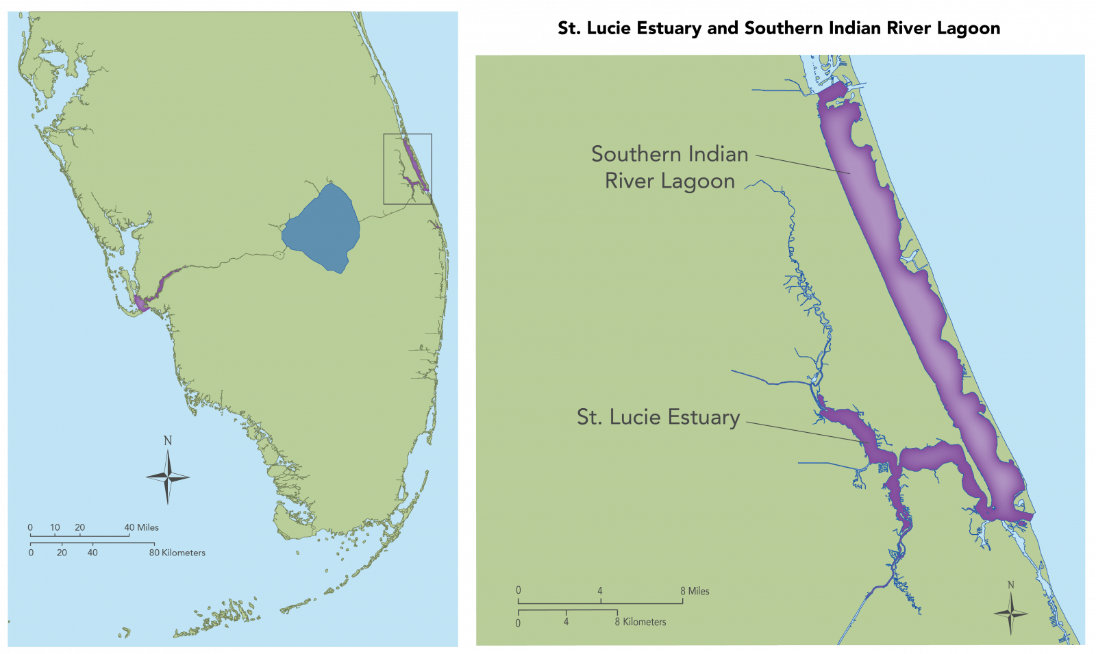
The St. Lucie Estuary is located on Florida’s southeast coast. It intersects the Indian River Lagoon at the St. Lucie Inlet, which is an outlet to the Atlantic Ocean in Stuart, Florida. The western boundary extends to open-channel headwaters of the north and south forks, with major inflows from Lake Okeechobee coming from the south fork. There is extensive influence from the watershed in the St. Lucie Estuary due to urban and agricultural development and its accompanying drainage canal network. Ecological stressors on this region include a highly variable salinity regime and the St. Lucie Estuary receives sufficient inflows directly from the watershed during the year. High flows and extreme high inflows from the watershed and from regulatory Lake Okeechobee releases as a response to heavy rain and tropical storm events is the primary stressor. (Photo of sailboat in the St. Lucie Estuary by SFWMD used with permission)
Return to Northern Estuaries Info
Return to Regions Main Page
